Multimodal Event Management System
T-REX provides users with the ability to create and manage active highway incidents, scheduled highway construction events, scheduled highway special events, active transit incidents, scheduled transit construction events, and scheduled transit special events.
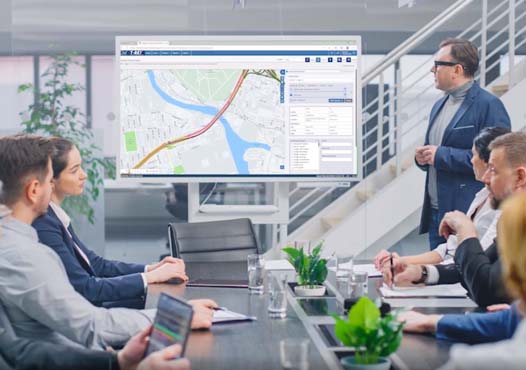
Web browser-based
Web browser-based
T-REX system is a safe web browser-based multimodal event management tool, and it can be easily operated right from a desktop, tablet, or laptop.

Multi device support
Multi device support
T-REX is an entirely web-based system, so traffic management center employees can access it by leveraging any browser and device for connecting to the T-REX application.

All in one place
All in one place
T-REX allows users to create and manage things like active highway incidents, active and scheduled construction events, special events, transit incidents, and transit special events all in one place.

View CCTV & Location
View CCTV & Location
T-REX enables its user base to perform actions such as view CCTV, locate the nearest secure service patrol vehicle, and find & locate event insights on a map with location description and direction.
Our Services and Expertise
Our services comprise management of transportation operations centers, traffic management & traveler information systems, transportation planning, work zone planning, data archive & analysis, and staffing placements.
T-REX provides users with the ability to create and manage
Agency operators can sustain notifications, alerts, and actions taken during an event. These insights are incredibly supportive during a post-event analysis.
- Active highway incidents
- Active and scheduled highway construction events
- Active and scheduled highway special events
- Active transit incidents
- Active and scheduled transit construction events
- Active and scheduled transit special events


It also allows users to perform other actions such as
T-REX enlarges the operational abilities of agencies to be accessible remotely at on-site construction zones and dynamic events.
- Send e-mail notifications and SMS messages
- View CCTV
- Locate the nearest safety service patrol vehicle
- Find and locate event information on a map
- Perform system administrator functions and so much more
T-REX Features & Functions
In addition, T-REX addresses the needs of the agencies with several additional new features and functions which include:
Map-based event location selection
When an operator selects a point on a map, it will pre-populate the facility, location description and even direction.
Arterial Location Selection
An operator can select the direction of an arterial roadway. For example, north/south, or, east/west.
Specialized Roadways
When applicable, T-REX can allow a user to choose a roadway with unique characteristics such as upper/lower, inner/outer, Bus/HOV lane as well as local/express.
Lane Selection
Operators can also select the specific lanes that are affected by roadway conditions.
Traffic Impact
Traffic impact association is no longer estimated by the operator based upon qualitative assessments such as looking at cameras.
Agency Custom Data
Agency Mile Marker database, custom specialized roadways and ramp location integrator tool allow easy integration for accurate event creation.


